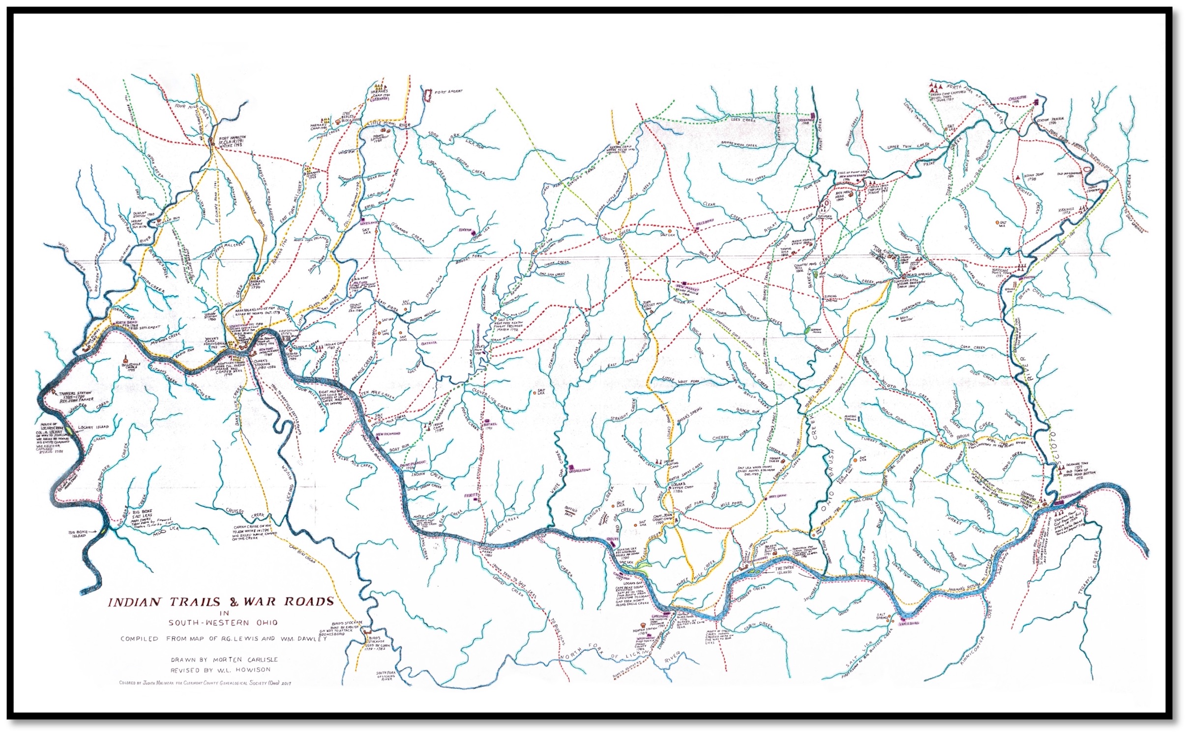

1805 SW Ohio Indian Trails & U.S. War Roads
1805 Map of Indian Trails and U.S. War Roads. Map covers a large portion of Southwestern Ohio, including all of what is now Clermont County; Indian Villages, U.S. settlements and forts, most streams and rivers, and many other features are depicted. The map measures 36" x 22" and is printed on premium, semi-gloss photo paper. The map is mailed rolled in a sturdy mailing tube. Member Price is $35.00 with OH sales tax $38.03 plus shipping ($10.00).
11/10/2025